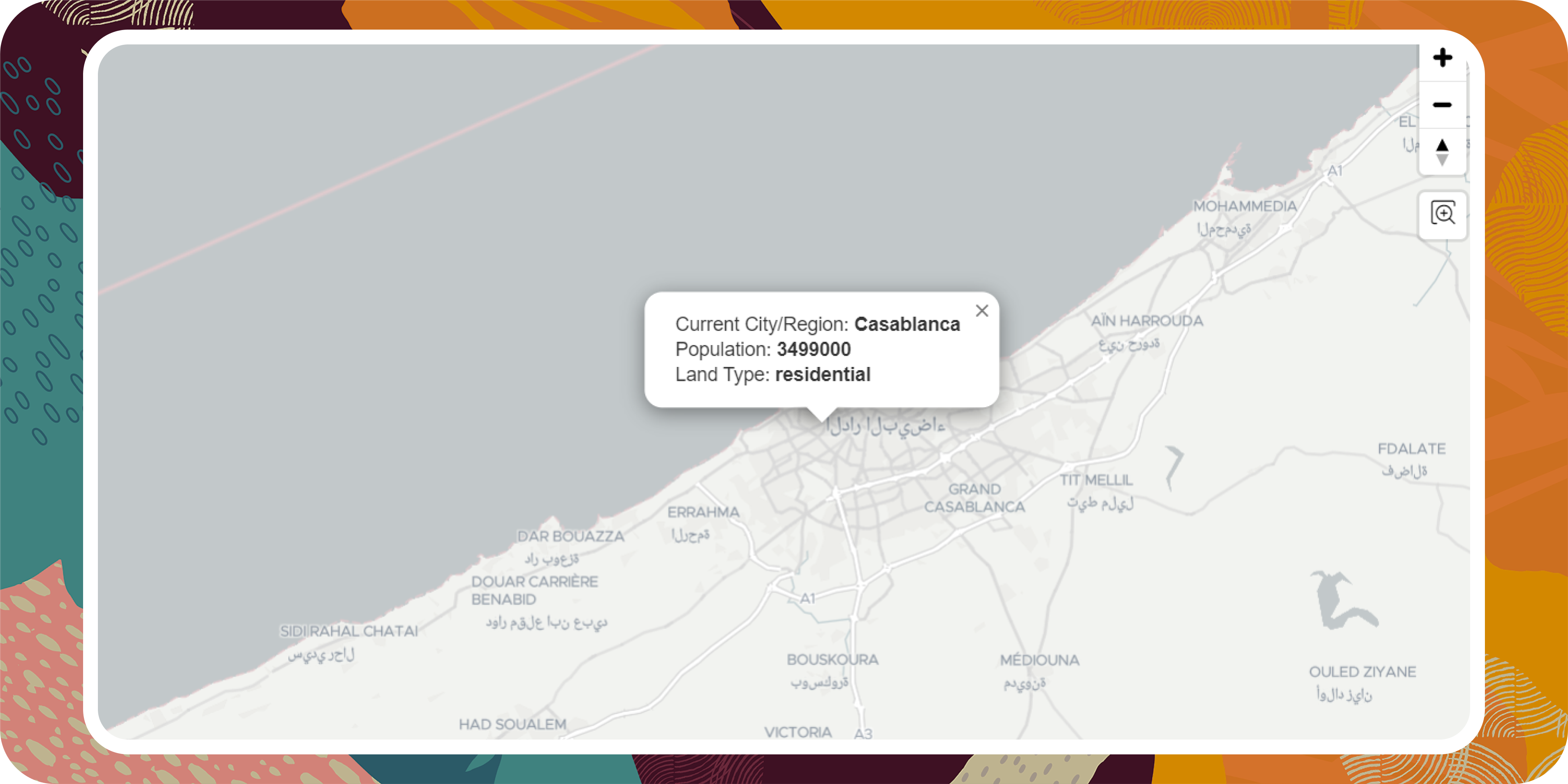
Map-Region Info Picker is an Open Source Oracle Application Express Plug-in that provides information for a picked area within the map.
- Retrieve land type for a picked area such as (farmland, grass...)
- The name of the picked city/region or the nearest one
- Latest population density for the picked area
- Install the plug-in within your Oracle App.
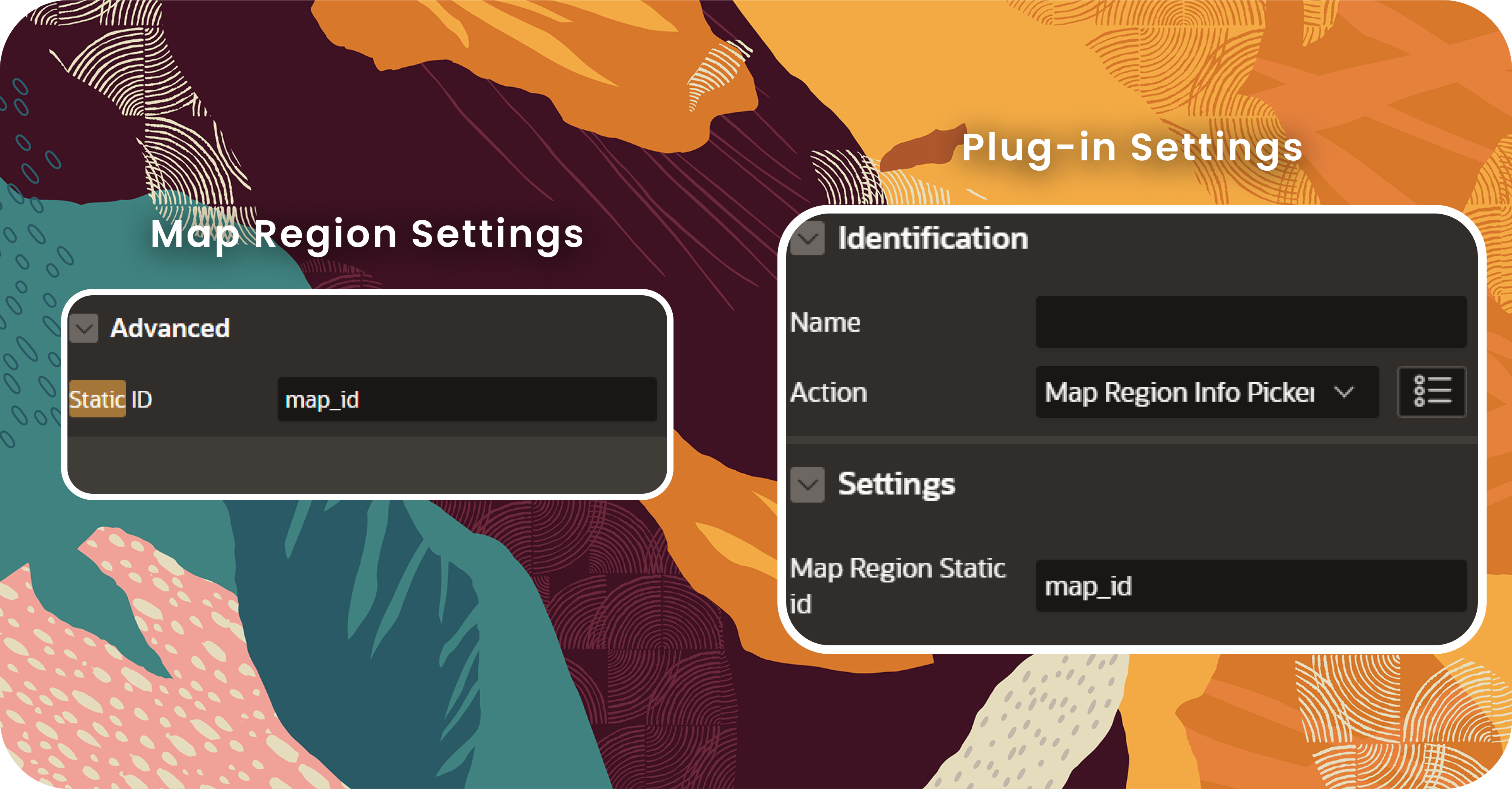
- Go to your map region and set a static ID for it.
- Create a dynamic action for the map region and set the event as Click.
- Select the plug-in name for the action.
- Set the map static ID under settings.
Feel free to use or share this plug-in as you want!


